Usage of Satellite Remote Sensing in Agriculture, Weather, Urban and Rural Planning
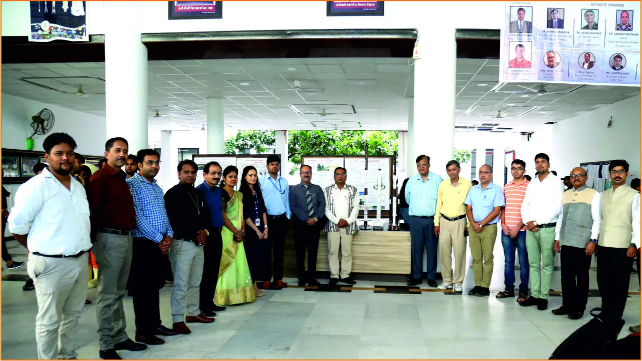
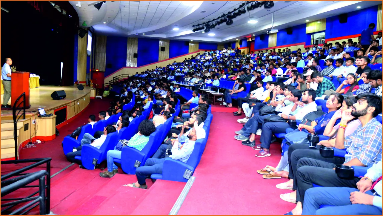
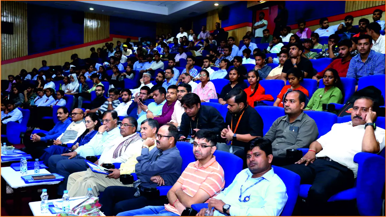
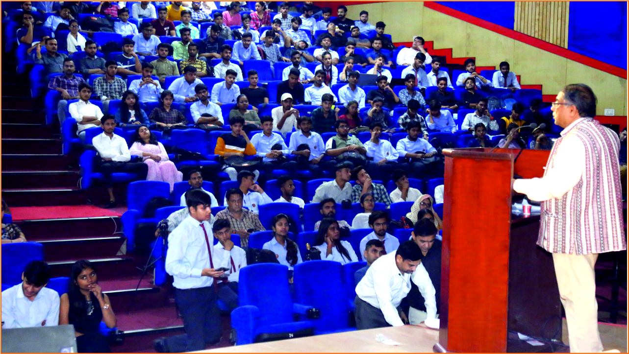
An awareness seminar was hosted by Civil Engineering Department of FoE and College of Computing Science and Information Technology, Teerthanker Mahaveer University Moradabad on the occasion of World Space Week 2022 in collaboration with Indian Space Industries Exhibitors, Ghaziabad. Many senior authorities and retired scientists of ISRO and IIRS Dehradun delivered lectures on the various applications of satellite remote sensing.
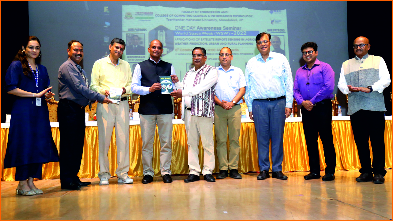
Space science has always been a matter of curiosity in the general public. But information about this is limited for the general public. Awareness is needed therefore, ISRO, through its scientists and former scientists, is trying to spread the knowledge of space science and technology among students at the school and university level so that both interest and knowledge in this subject can boost them and ISRO can get good future scientists. This will definitely strengthen India's share in the world space. This was the view presented by Mr. A. C Mathur, General Director, Retired Scientist, Space Applications Centre, ISRO, Ahmedabad. He delivered his thoughts at a one-day awareness seminar organized under the aegis of the Faculty of Engineering and College of Computing Sciences, Teerthanker Mahaveer University, as part of the Indian Space Week running from October 4 to October 10. He proposed his idea to build a space museum inside the university so that children from nearby schools can get information about space science easily. He also presented two self-published books to Professor Raghuveer Singh, Vice Chancellor of Teerthanker Mahaveer University.
Dr. Aloke Mathur, the former Senior Scientist of ISRO, threw light on the application of satellite remote sensing in agriculture and weather forecasting. He explained how the weather is forecasted using remote sensing. Along with this, he also discussed the Polar and Leo satellites. While sharing the information, he mentioned that rainfall monitoring can be done with INSAT-3D software. With his words, he inspired the students that in future with physics, using A.I. and machine learning, accurate forecasts can be made about the weather for a long time interval, which is a big challenge today.
Dr. Sandeep Maithani, Head, of Urban and Regional Studies, IIRS, Dehradun explained the topic ‘Applications of Satellite Remote Sensing in Urban and Rural Planning. He elaborated on the definition of urbanization by linking it to the ratio of the number of people. Unplanned towns are spreading, due to which the problem of disposal of flood, dirt, and municipal waste will be rising in the coming year. To solve all these problems, the Government of India have started schemes like Swachh Bharat Abhiyan, Smart City and Amrit Vikas Yojana and with this, he gave information about the utility of remote sensing and GIS.
Dr Vishnu Chandra, Director General (Retd), National Informatics Center (NIC), New Delhi said that the advent of modern technologies like artificial intelligence and machine learning in image processing has revolutionized the fields like geology, urban planning, infrastructure and ecology. During the lecture, he also added that students of Computer Science and Civil Engineering can work together to overcome all the challenges of this field.
Dr Khushboo Mirza, a senior scientist from ISRO, gave detailed information about ISRO's Chandrayaan-1 and Chandrayaan-2 missions. She mentioned that with the use of satellite, work is done on topics like food security, water security and environmental protection. She explained in detail to the students about Geo Spatial and Bhuvan Software.
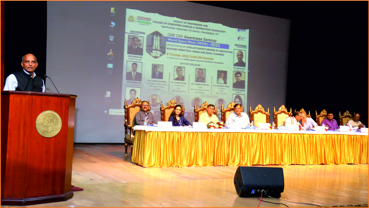
University Vice Chancellor Prof. Raghuveer Singh said that it is the merit of ISRO that it has registered India's signature in space through an indigenous satellite like Chandrayaan in a budget much less than Hollywood films. He said that the scientists of ISRO have provided a golden opportunity to our students by choosing our university for the program of Indian Space Week. Students should take full advantage of this.
The Principal and Director of the Faculty of Engineering and College of Computing Sciences, Prof. R. Of. Dwivedi said that after the field of information and technology, ISRO has given India recognition on the world stage in the field of space science and technology. Elaborating more about the theme of World Space Week, which runs from October 4 to 10 every year, he emphasized the idea of space and sustainability. According to the United Nations, this World Space Week will focus on achieving sustainability in space and achieving sustainability from space.
An exhibition of posters and models related to space science and technology was also organized in this event.
The registrar of the university, Dr. Aditya Sharma also had a dignified presence at the event. At the end of the program, Head of Civil Engineering Mr. Arun Kumar Pipersenia presented vote of thanks. Co-ordinator Mr. Aditya Jain, Mrs. Nikita Jain, Dr. Ravi Jain, Dr. Ashendra, Dr. Ashish, Mr. Ankit Sharma, Mr. Rupal Gupta, Mr. Siddharth Mathur, Mr. Amit Kumar, Dr. Ajay Upadhyay, Dr. Shambhu Bhardwaj, Mr. Rahul Vishnoi, Mr. Ankit Varshney and Nisha Sahal were present.
PPT on usage of satellite remote sensing in agriculture, weather, urban and rural planning.
- Geospatial Technology and Services Platform for Governance Applications (Click Here)
- Bhuvan Overview & Applications (Click Here)
- Application of Satellite Remote Sensing in Urban and Rural planning (Click Here)